Knocknashee – the Hill of the Fairies
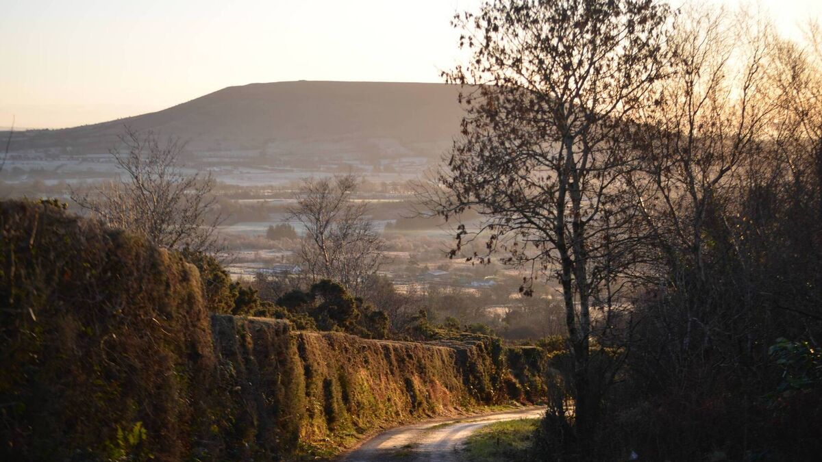
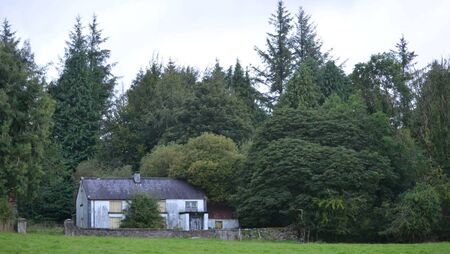
Knocknashee, the Hill of the Fairies in South Sligo. Picture: Pat McCarrick
Visually, a lone hill in a flat landscape can appear quite striking. The side of the hill you are most familiar with becomes your interpretation of the hill, the face you recognise. The locations of its upright fields and walls, its shadowy woods and lone trees, the way the sun strikes it at evening, all help to make a lone hill mysterious, unique.
Knocknashee is one such hill; the Uluru of County Sligo, and it was not today nor yesterday that its mystery began to influence human kind. From earliest times, it seems, Knocknashee began to attract attention.
Rev. James Greer, in his musings on the River Moy over a century ago, considered Knocknashee the true source of the River Moy – he may or may not have been correct in this assessment. Greer was sometimes guilty of committing to paper a very basic knowledge of geology, but notwithstanding this, his impressions of Knocknashee are worth remembering.
Geological reports on Knocknashee suggests that it “consists primarily of a prominent limestone cap with underlying shale, forming a table-top mountain or plateau” and indeed this explains the absence of heather as mentioned by Greer. The hill stands at about 270 metres above sea level and seems to have stood firm while the surrounding landscape was eroded over millions of years.
Knocknashee was identified as a hilltop fort in 1988. It was thought to be such an enclosure because of its limestone ramparts. This theory, however, has been disproved in more recent times. The hill and it flat top are, nonetheless, of consider importance from an archaeological point of view, containing as it does, two cairns with burial chambers and up to 50 circular hut sites.
Despite Greer’s generous measurements, the plateau is only 700 metres long and 320 metres wide. This space marks an area of 53 acres. The hut sites were discovered during an aerial survey of County Sligo by the Office of Public Works in 1988. This late Bronze Age ‘village’ overlooks north Connacht and on a clear day Croagh Patrick can be seen, almost 50 miles to the south.
The hut sites on the top of the hill are not discernible to the naked eye at ground level, but show up very clearly in aerial photographs taken from a particular angle, with the sun at a certain level in the evening sky.
The circular hut foundations typically measure between seven to 11 metres in diameter. They cluster densely across the summit, adjacent to two large Neolithic limestone cairns which date from around 3500BC. Excavations and carbon-dating work, research led by archaeologists from Queen's University Belfast, place the hut sites and their occupation primarily in the Late Bronze Age (roughly 1200–800BC), indicating that the plateau was a major fortified prehistoric settlement or some kind of regional headquarters. Some even suggest it was a kind of holiday resort where certain people attended for seasonal celebrations.
Life in the Late Bronze Age in Ireland was centred around structured farming, advanced metal crafting, and a changing, colder environment. Generally speaking, people lived in small farmsteads or communities consisting of circular houses or huts, built with stone foundations, wattle and clay walls and thatched roofs. Families survived on mixed farming, growing crops like wheat and barley and raising cattle, sheep, and pigs. They also continued to hunt, fish, and gather wild foods, in keeping with their Hunter Gatherer origins.
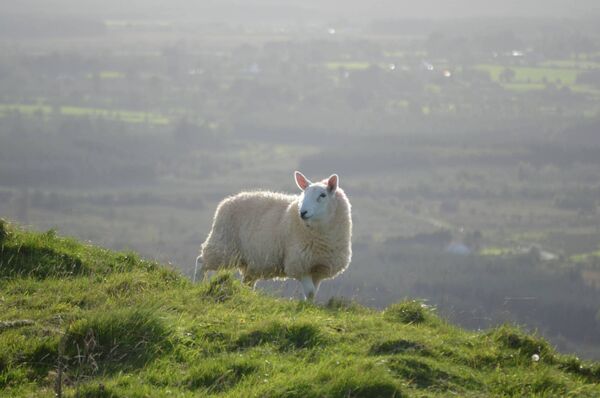
In ancient Ireland, cattle were the primary measure of wealth and status; larger herds meant greater political influence in the community. The relationship between the people of Knocknashee and the Ox Mountain was likely formed and cemented at this time. Local folklore recalls an interesting story that could well extend back the days of the Late Bronze Age. A contribution to the National Folklore Schools' Collection from the 1930s, made by Patrick Walsh of Tourlestrane in south Sligo, relates an interesting story in this regard.
Could Knocknashee have been a kind of ‘winterage’, a place of seasonal grazing? It is certainly high enough and dry enough and with a limestone top layer to keep its grass growing in winter. It is, whatever about anything else, a very green and inviting hill.
The sacredness of the hill was kept in focus through centuries of local folklore. Like all such sites in Ireland, the link with the fairies seemed to preserve it; both physical and spiritually. The high cliff face of the western side of the hill once formed part of a protective rampart. These limestone walls and pockets, formed by the trashing of ancient ocean waves, now make ready-made wishing chairs for anyone agile enough to take a seat and risk selling their soul to the fairies in exchange for a never-to-be-spoken-of wish.
In recent times, a new walkway makes the trek to the summit a simple enough task - a task that offers huge rewards. Roaming the plateau on top, on a pleasant day, almost gives the feeling of flight, of moving back in time. It is easy to imagine attending an ancient burial of major significance, or mingling with a community busying themselves with the work of survival. The casual trekker is brought back to consciousness by the presence of a fat lamb nibling the grass nearby – a lamb that will soon be sacrificed, not in any pagan ritual, but to appear on a menu of some fancy restaurant in Paris or Milan.